News
2026-09-24
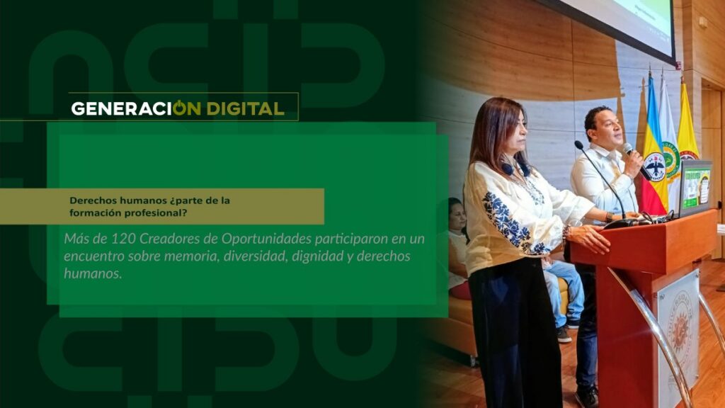
Human rights: part of professional training?
By: Alejandro García Suárez – Advisory Office of Communications



I am your virtual assistant, here to help you quickly and easily.
▲ Back to Top
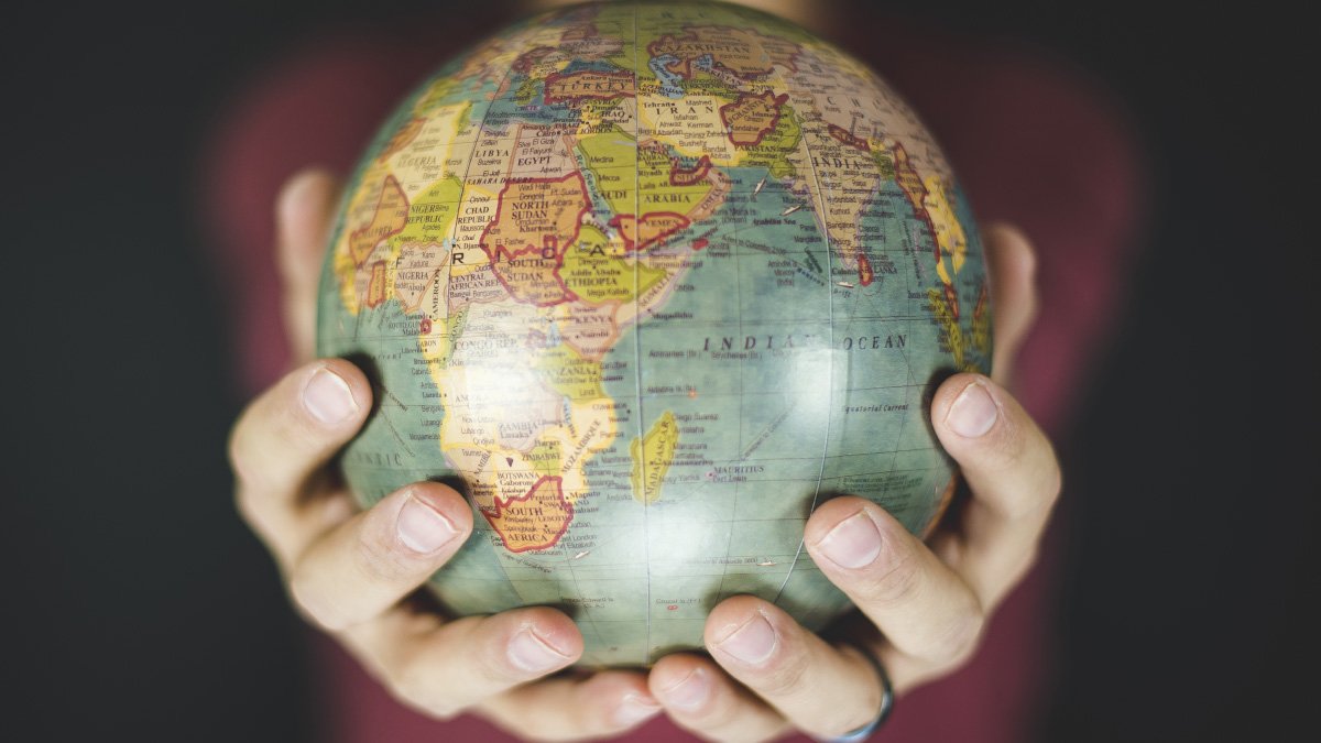
Geoportals are Spatial Data Infrastructures (SDIs) that allow us to observe and interact with geographic information. According to the book Geoportals in Colombia, by Professor Rodolfo Franco, these technologies are also “a set of standards, policies, and institutional resources that operate in a coordinated manner to acquire, process, store, distribute geographic information, and promote its use.”.
There are countless examples of geoportals on the internet; perhaps the best known is the Google Earth application, which since 2005 has become one of the most efficient ways to observe the Earth from the sky and, over time, to virtually visit geographic locations around the world. In fact, this functionality was expanded in 2007 with the addition of Google Street View, which allows us to view the streets of many cities panoramically.
But, according to Professor Franco's book, the history of geoportals dates back to the 1990s, "when some organizations and companies in North America and Europe began to accumulate a large amount of digital spatial information but there were still no clear and common strategies that allowed data to be shared in the same language.".
This remained the case until 2003, when Geospatial One-Stop (GOS), a geoportal promoted by the United States government, emerged and defined this technology. It featured a viewer that allowed users to navigate the map of the U.S. while providing data and statistical services. From then on, all internet geoportals would be based on this model.
In Colombia, the idea of creating a national geoportal also emerged in the first decade of the 2000s, spearheaded by the Agustín Codazzi Institute, one of the leading organizations in developing the necessary infrastructure to make Colombia's spatial data visible. This work bore fruit in 2013 with CONPES 3762, which defined the guidelines and policies for implementing a National Geographic Portal to support projects of national interest.
Thanks to this, this geoportal, operated by the Agustín Codazzi Institute, offers Colombians the following services, according to its website: “Basic Cartography Map; Basic Cartography Map with Relief; National Cadastral System Map; Dynamic Map of Flight Lines; Winter Emergency Map; Map of the Subdirectorate of Agrology; Consultation of Map Sheets at the National Level; among others.”.
However, today, geoportals, as a vital 21st-century technology, are no longer solely driven by governments and have become tools for businesses and universities. “Universities also generate spatial data resulting from theses or research projects, so it would be very useful for higher education institutions to have their own geoportal where typical base layers and thematic layers classified according to the nature of the projects are displayed,” Professor Franco points out in his book.
In fact, the University of Cundinamarca and its 21st Century Generation program, focused on digital tools, have already disseminated research proposing the development of geoportals to support the region's tourism and economic growth. A clear example is the project "Development of a web application based on a geographic information system for the distribution of classrooms and laboratories at the University of Cundinamarca, Fusagasugá campus," which was presented in 2017 and is now freely available in our institution's repository.
In addition to this academic effort, the course 'Creation of Geoportals', offered by the Faculty of Agricultural Sciences and the Cartography Technology program, will begin on April 21st. Its objective is to review and explore the services, applications, websites, geographic databases, and maps in mobile applications related to the development of geoportals. Registration is via WhatsApp at +57 318 725 7038.
Finally, this is an opportunity for students interested in the management of geographic and spatial information to propose digital tools (as stipulated by our MEDIT) that help in making sound decisions in fields such as: environment, urban planning, development, international cooperation, and disaster management.
“The era in which the search for spatial information was limited to analog maps and a few digital documents must now be history. Today, the primary method for consulting geodata is via the internet, through geoportals and/or institutional viewers, in the
"data catalogs and in corporate geographic metadata," notes the research by Professor Rodolfo Franco.
News
News
News
News