Fusagasugá Branch
2026-09-24
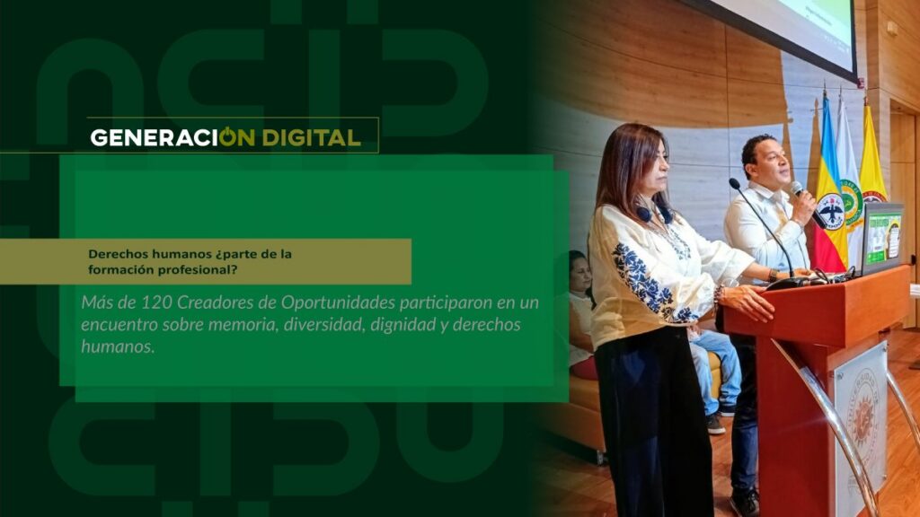
Human rights: part of professional training?
By: Alejandro García Suárez – Advisory Office of Communications


I am your virtual assistant, here to help you quickly and easily.
▲ Back to Top
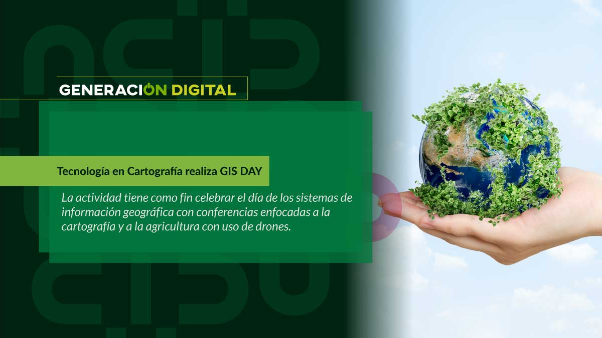
The event called GIS DAY will take place on September 29th from 8:00 am to 5:00 pm at the Fusagasugá headquarters and admission will be free.
UCundinamarca News spoke with the program's teacher, Paola Andrea Valencia, who is one of the organizers.
UCundinamarca News: What is the objective of this activity?
Paola Andrea Valencia: GIS Day, which stands for Geographic Information Systems Day, is celebrated worldwide in September. Our goal is to raise awareness among the entire educational community and the general public about this technology, which is used in various fields. Therefore, we will focus on earth sciences such as cartography, surveying, and precision agriculture using drones.
UCundinamarca News: What will the schedule be for that day?
Paola Andrea ValenciaOn the first day, from 8:00 a.m. to 12:00 p.m. at the Management and Learning Center, we will have the following conferences: Satellite Systems applied to the guidance of agricultural machinery by Master Carlos Mendoza, Geographic Information Systems and Geo Portals by Master Gelberth Amarillom, Precision Agriculture and Geographic Information Systems, special guest: Edisson Jahir Olaya, and Five Hundred Years of the First Circumnavigation of the World: The Magellan and Elcano Expedition by PhD candidate Giovanny Avendaño.
Then, starting at 2:00 pm in the corridor of blocks E and F, there will be a demonstration of how to assemble a drone by Master Gelberth Amarillo, and attendees will be able to see the planning and flight of two devices by expert Socrates Cardona, who will operate the DJ Inspire 2 (Matrice 200) drones acquired by the university, which has a multispectral sensor with an RGB camera that offers precise mapping of crops to determine their condition.
This one has a 27-minute flight time and a speed of 94 kilometers per hour. The other drone is the Parrot Bluegrass Field, which is also used in agriculture and has a multispectral camera that captures four spectral bands in visible and infrared light to analyze the condition of the crops.
UCundinamarca News: What other activities will you be developing?
Paola Andrea Valencia: We're having a drone flying competition. Anyone interested in participating can bring their drone to the event and will have to complete a predetermined route set by the judge, taking photos along the way. These photos will be evaluated, and prizes will be awarded with medals and souvenirs.
In that vein, the university developed a comprehensive diploma program that will provide knowledge about this important technology that is changing the world.
If you would like to learn more about the UAS (Unmanned Aircraft Systems) diploma program offered by UCundinamarca, click here. here
News
News
News
News