Fusagasugá Branch
2026-09-24
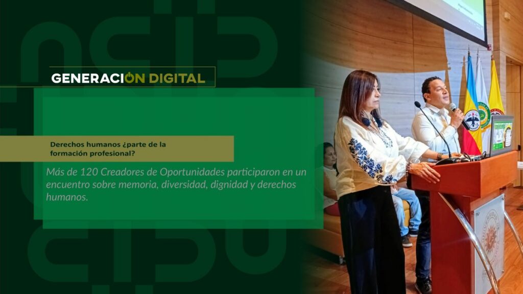
Human rights: part of professional training?
By: Alejandro García Suárez – Advisory Office of Communications


I am your virtual assistant, here to help you quickly and easily.
▲ Back to Top
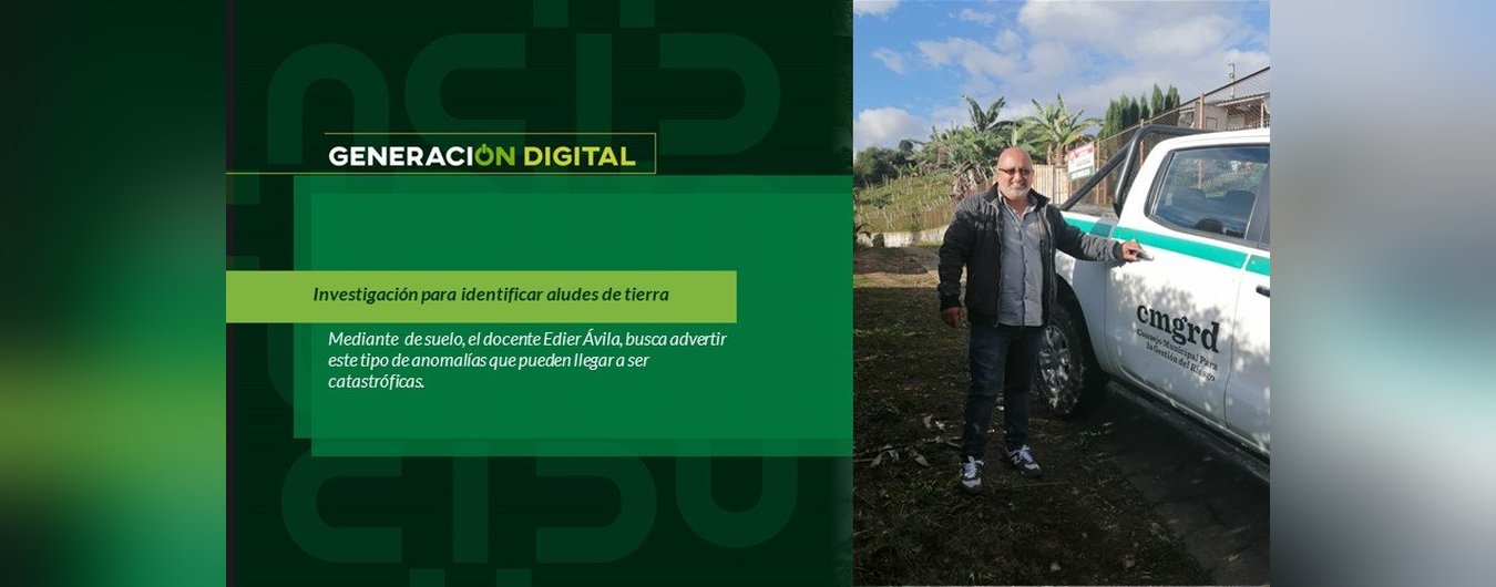
Colombia is among the 84 countries most vulnerable to climate change, according to the University of Notre Dame's global adaptation initiative. With this in mind, the University of Cundinamarca (UCundinamarca) supported this professor from the Cartography Technology program in pursuing his doctorate in geomatics at the Polytechnic University of Madrid, with a dissertation focused on this topic. “My work is titled 'Detection of Zones of Instability and Surface Deformation Applying Advanced Interferometric Techniques. Case Study: Municipality of Fusagasugá'.”.
This research will be very useful for implementing monitoring and early warning systems in communities. “For this purpose, we use Sentinel One radar images, which are freely available from the European Union and are used to identify areas prone to landslides. This tool allows us to analyze three or four municipalities in a single satellite image. Once this stage is complete, the data must be corroborated with reality, and for that, we need to go to these areas and talk to the community to see if they have noticed anything like cracks or breaks in the walls of their houses or on their land.”.
This research work combines other scientific disciplines. “It is linked to areas such as geology and complemented by hydrometeorological data, since landslides have these other two components.”.
For now, the preliminary results have already been shared with the mayor's office in Fusagasugá. “We have presented some findings showing that the interferometric data presented accurately reflects the reality of the territory and perfectly complements the data held by the municipal administration. The final product of all this will be a map where we can identify active deformation zones, thus contributing to land-use planning by delimiting these areas to prevent construction.”.
This scientific contribution from UCundinamarca, as part of its commitment to community outreach through university engagement, will be key to benefiting local communities, as Professor Edier Fernando Ávila affirms. “In Colombia, there are fourth-category municipalities that lack the resources for an early warning system, so this work will be of great help, since authorities often only learn of a disaster after it has already occurred, and people rush to inform them.”.
But this professor's goal is to further strengthen this initiative, and for that, he needs more technological resources. “A project has now been submitted to the university through an internal call for researchers, with the aim of acquiring a supercomputer capable of analyzing at least forty images simultaneously. This initiative requires a significant investment in this area, as the software doesn't run on just any computer.”.
For now, this doctoral work has progressed through the stages of the scientific method. “I’ve already done the research; now comes the validation of all the data, and then, publication and dissemination to the academic community. That’s why I want to emphasize that none of this would be possible without the financial, academic, and time support I’ve received from the administration.”.
In this way, UCundinamarca's daily work extends beyond simply imparting knowledge to students in the classroom; it also involves training teachers for life, equipping them with the capacity to transform their communities. Hence, these kinds of relevant initiatives improve the living conditions in the areas where the institution has a presence.
If you would like to learn more about this project, give Click here:
News
News
News
News