News
2026-09-24
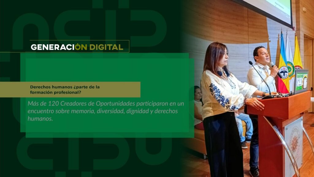
Human rights: part of professional training?
By: Alejandro García Suárez – Advisory Office of Communications


I am your virtual assistant, here to help you quickly and easily.
▲ Back to Top
By: Alejandro García Suárez – Advisory Office of Communications
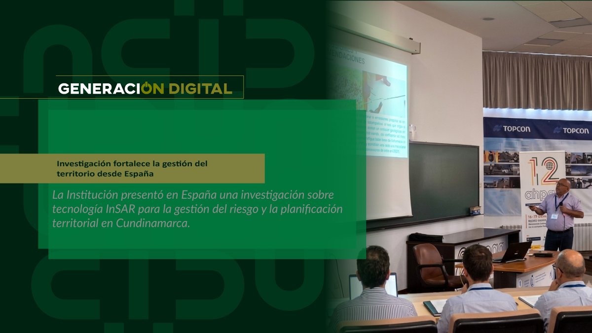
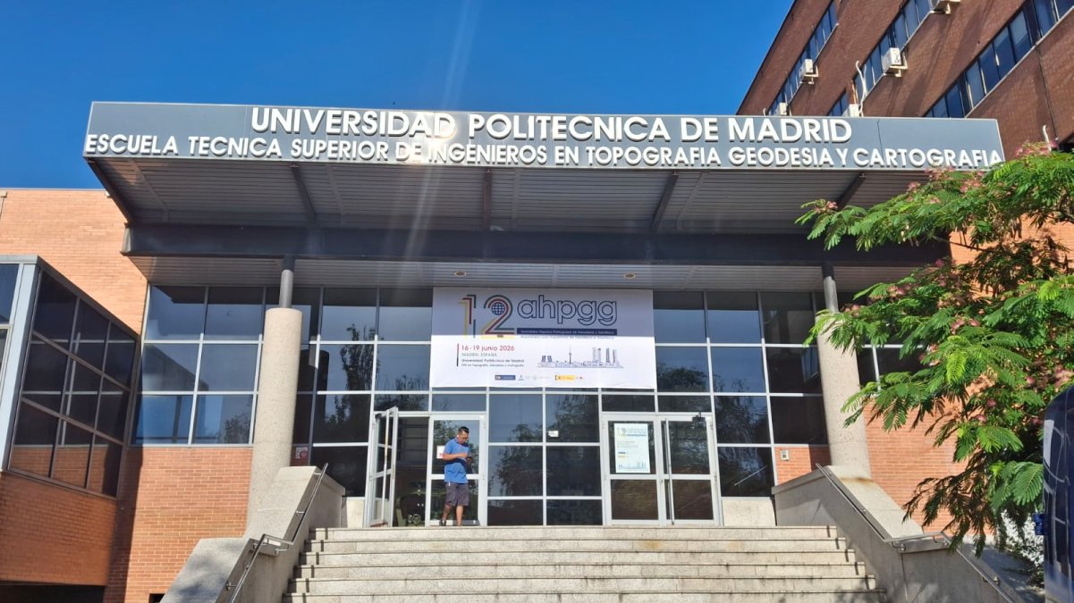
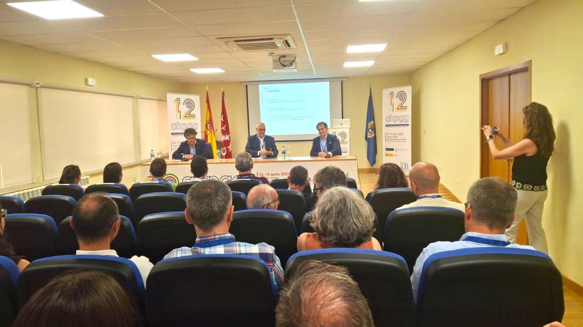
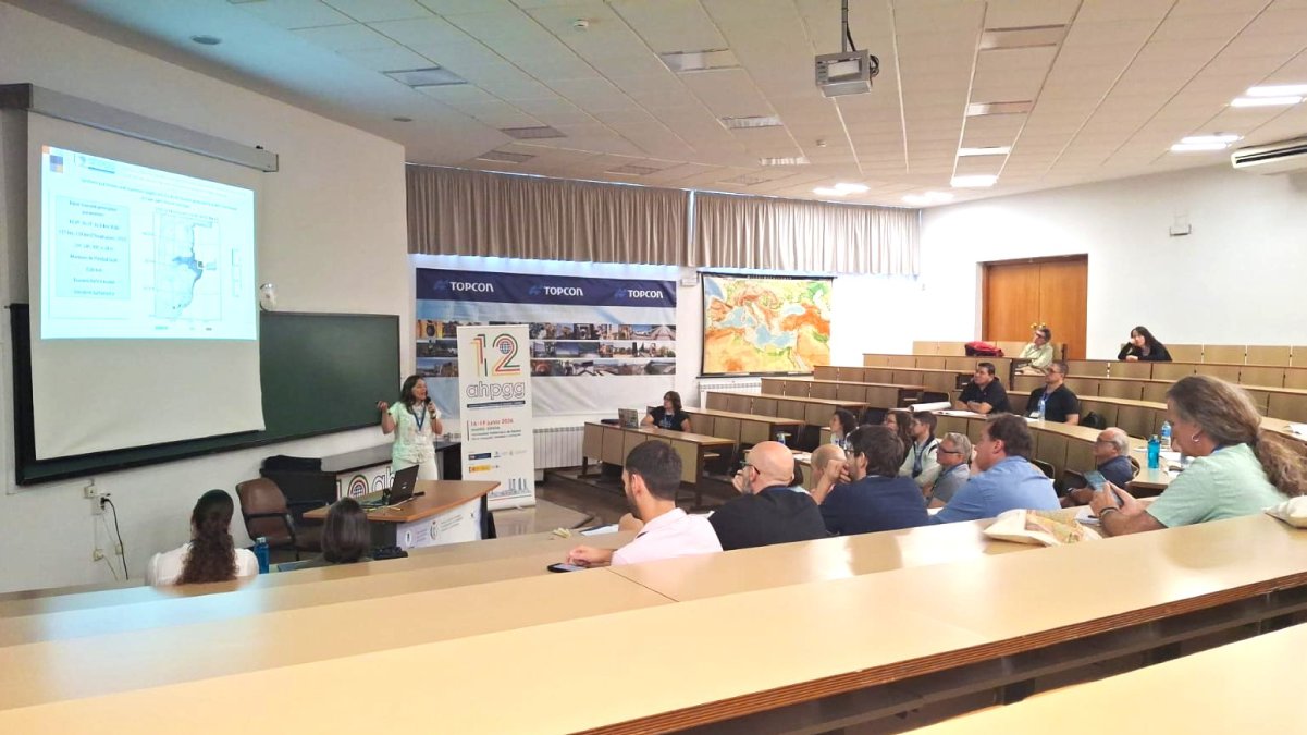
The University of Cundinamarca continues to consolidate its international projection through research. From June 19 to 22, 2026, the Topographic and Geomatic Engineering program participated in the 12th Hispano-Portuguese Assembly of Geodesy and Geophysics, held at the Polytechnic University of Madrid (Spain), one of the main academic scenarios for the exchange of knowledge in geosciences.
Representing the Institution was the Knowledge and Learning Manager and researcher Edier Fernando Ávila Vélez, who presented the transfer of results “InSAR evidence of active deformation associated with a normal fault in Cundinamarca, Colombia: implications for territorial planning”, a product of the research project “Design and validation of a monitoring system to detect mass movements using the radar interferometry technique in five municipalities of the department of Cundinamarca”.
This project is developed within the framework of Cooperation Agreement 001 of 2025 between the University of Cundinamarca and the Special Administrative Unit for Disaster Risk Management of Cundinamarca (UAEGRD), with the purpose of providing scientific tools to strengthen risk prevention and management in the territory.
According to researcher Edier Fernando Ávila Vélez, the research demonstrates how InSAR radar interferometry allows for the identification of active deformations and instabilities of the Earth's surface using high-precision satellite imagery. This information is crucial for supporting land-use planning, decision-making, and disaster risk reduction. "These techniques provide scientific information on Earth's surface movements, allowing us to identify areas with active deformations that may pose a risk to communities and become a strategic input for land-use planning and management," the researcher explained.
The Knowledge and Learning Manager highlighted that these technologies are already part of the research processes of the University of Cundinamarca through the Satellite Interferometry Laboratory of the Faculty of Agricultural Sciences, led by Dean John Alexander Moreno Sandoval, where research is developed aimed at identifying areas vulnerable to mass wasting phenomena through the analysis of satellite information.
Participation in this international meeting also allowed us to share experiences with researchers from different countries, strengthen scientific cooperation networks, and highlight the work that the University of Cundinamarca is developing in the application of Earth observation technologies to solve real problems in the territories.
For the researcher, this achievement demonstrates that the science and innovation developed at the University have an impact that transcends national borders. “From the Topographic and Geomatic Engineering program, we continue to contribute to the Transmodern Digital Educational Model (MEDIT), bringing to the international stage research that responds to the real needs of our communities and that contributes to building safer and more sustainable territories,” he concluded.
With this participation, the University of Cundinamarca reaffirms its commitment to research, the internationalization of knowledge, and the development of scientific solutions that strengthen risk management, territorial planning, and the well-being of communities, consolidating MEDIT as a commitment to education connected with the challenges of the 21st century.
News
News
News
News