Fusagasugá Branch
2026-09-24
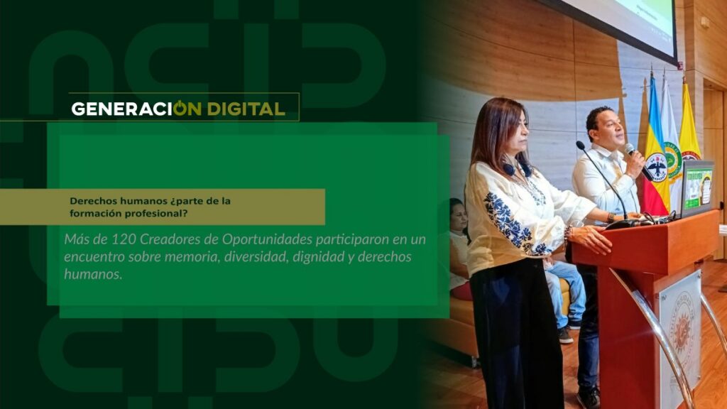
Human rights: part of professional training?
By: Alejandro García Suárez – Advisory Office of Communications



I am your virtual assistant, here to help you quickly and easily.
▲ Back to Top
This high-level academic project will set the standard for the update of the municipal cartography at detailed scales, which allows for the management of the territory, the inclusion of new infrastructure projects, the modernization of information and its maintenance.
The geodetic network It will be positioned and implemented at urban and rural points technically defined by geodesy experts, thus covering the entire municipal territory. The work consists of constructing 7 pillars, which correspond to a homogeneous distribution of 7 horizontal network points and the vertical network points for the urban area of the municipality of Fusagasugá and the materialization of 61 points in populated places in the rural area.
The points that make up the network will be located in very stable sites with clear horizons in all directions and will be perfectly identifiable, functional for use as spatial references in work using GNSS (Global Navigation Satellite System) technologies or conventional electro-optical equipment. In addition, three azimuth markers (obelisks) will be built on high ground around the urban area.
The geodetic network will be the heritage of the citizens of the municipality; it is a milestone in the Academic cooperation between UCundinamarca and the local administration, For this reason, the active and dynamic participation of the community is required, as well as the maintenance and ownership of a project that focuses on the well-being, development and quality of life of the people of Fusagasugá.
Information: Msc. Juan Ricardo Barragán Currea | Coordinator of the Cartography Technology Program – University of Cundinamarca
News
News
News
News