Fusagasugá Branch
2026-09-24
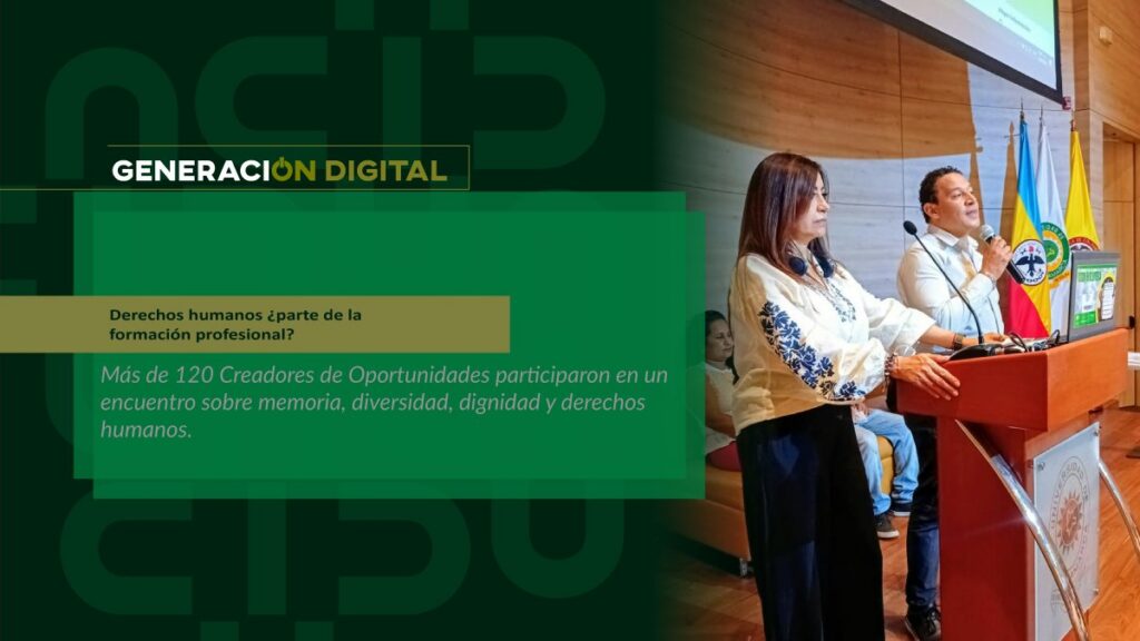
Human rights: part of professional training?
By: Alejandro García Suárez – Advisory Office of Communications


I am your virtual assistant, here to help you quickly and easily.
▲ Back to Top
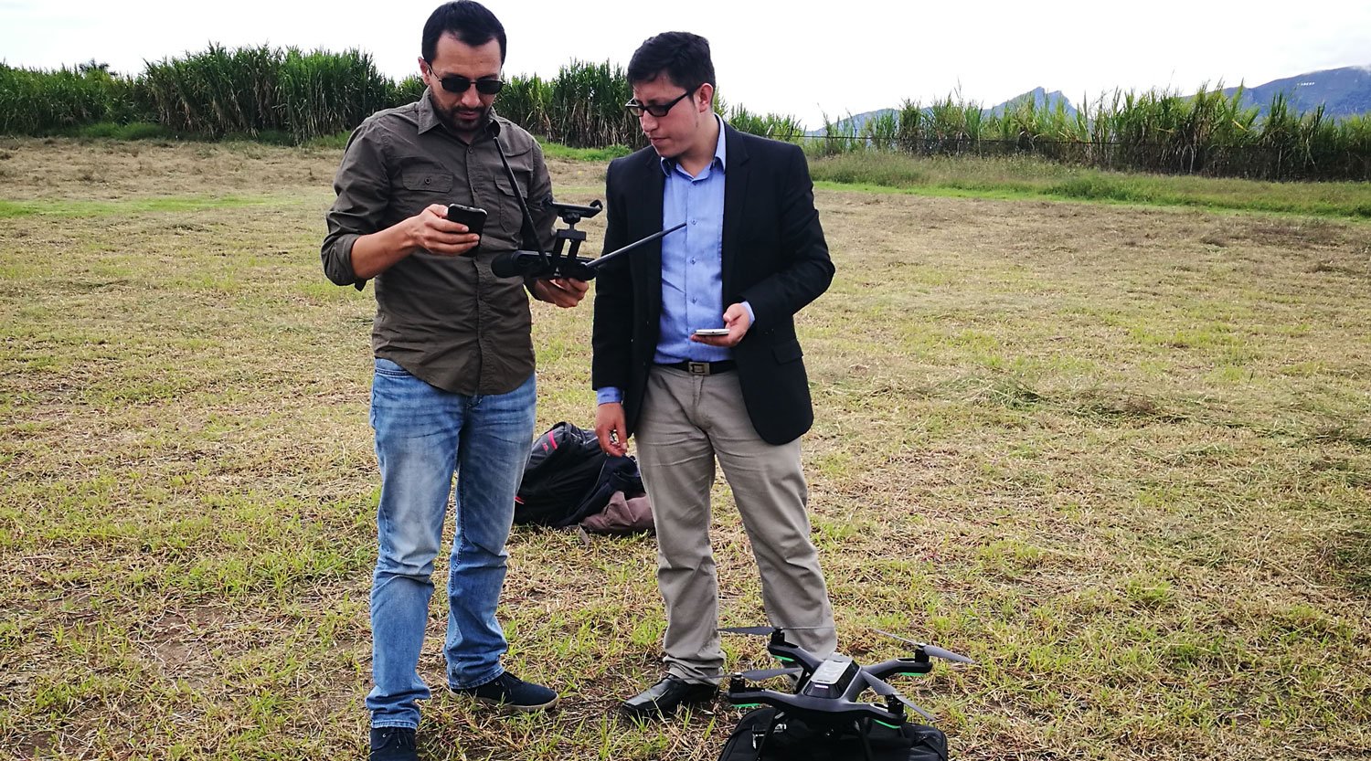
The event aimed to address methods and technologies in geoinformation and geodata, research and social interaction for the optimization of natural resources through cartography.
It is worth noting that the Cartography Technology program is leading two projects in the city of Fusagasugá. The first, with the Planning Secretariat, is called Materialization and Georeferencing of the Geophysical Network of the Municipality of Fusagasugá, and the second, with the Economic Development Secretariat, is titled Characterization of Nurseries in the Municipality of Fusagasugá - Georeferenced Census. These projects provide cartographic solutions to the needs of the municipal government.
The workshop is an academic event that allows participants to interact, update, and share information systems, applications, knowledge, and research in the field of cartography. It also raises the program's profile; remember that this is... "It's unique nationwide, and it's a program that cuts across all areas of knowledge, including social sciences, education, engineering, and other disciplines," he emphasized. Juan Ricardo Barragán Currea, coordinator of the academic program Technology in Cartography.
Read: Blog and Web pages about Geographic Information Technologies
The event held workshops on QGIS applied to geoservices, social mapping, Lidar data processing, and drone processing.
News
News
News
News